Demonstrator / work sample
An accessible, self-updating offer map for a national advisory network
A deployed prototype you can test in the browser. It is a work sample, not a customer project and not a product.
The problem
A national advisory network publishes an interactive map of well over a thousand local and nationwide support offers. Keeping it current depended on a manual pipeline: people submitted an online form, the team reviewed each entry by hand, and the result was transferred into a spreadsheet that fed the map.
At that volume the chain stopped scaling. Every update cost editorial time the team could not spare, and the public map had at times carried a visible notice that updates were delayed.
The approach
- Rebuilt the data path: the spreadsheet step gave way to a documented relational schema, automated geocoding, and a submission form where contributors create and edit records directly.
- Made the map accessible and mobile-first: an external single-page app embedded via iframe, rendered on OpenStreetMap tiles with no US-cloud dependency, with client-side filtering by category, sub-category, topic, and radius.
- Targeted WCAG 2.1 AA: keyboard-operable, labelled filter controls, and the result list as an equal-rank alternative to the map for screen-reader users. Verified through automated accessibility checks and a mobile performance gate.
-
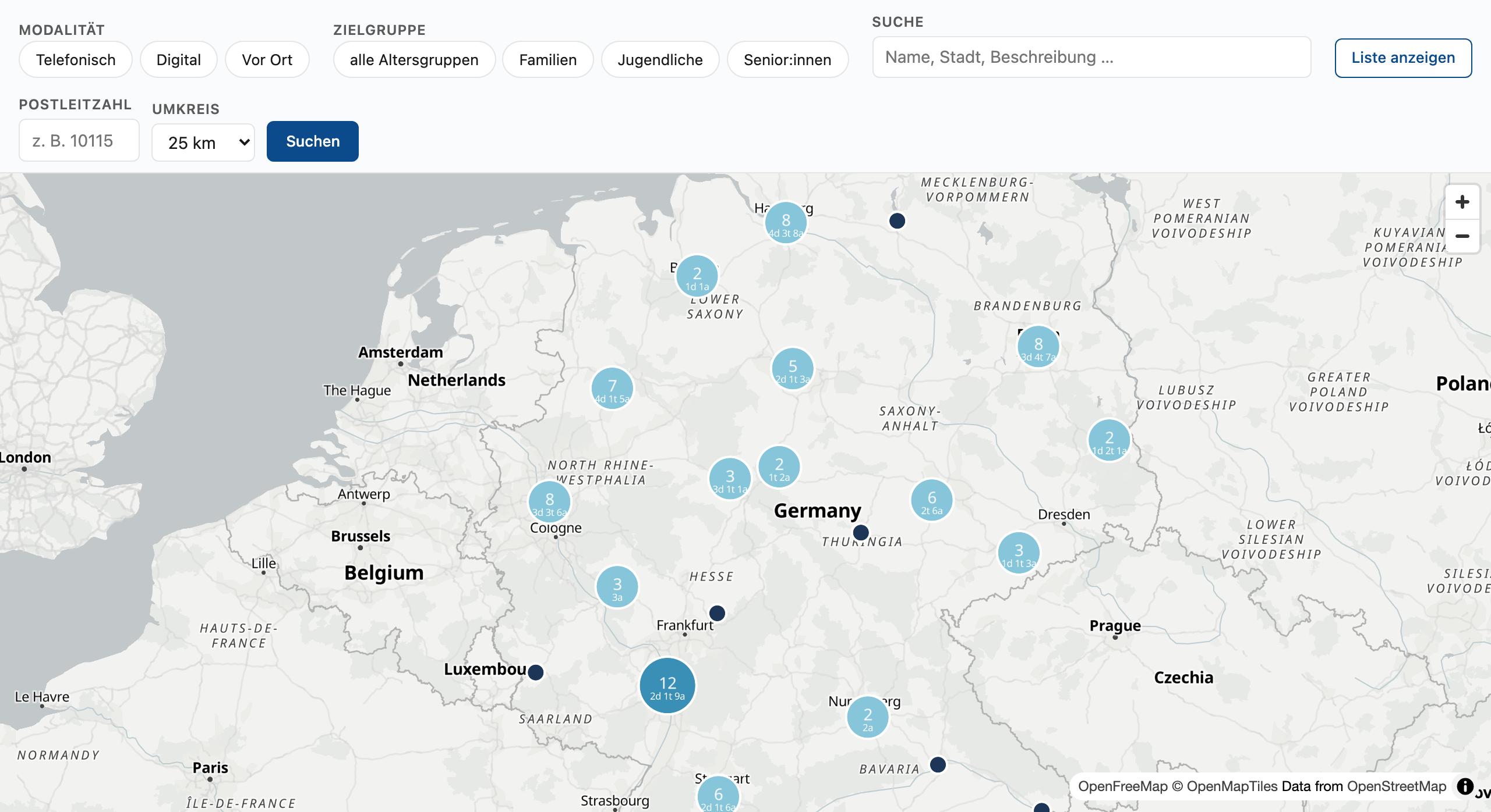
Country-wide map with category-aware marker clustering. -
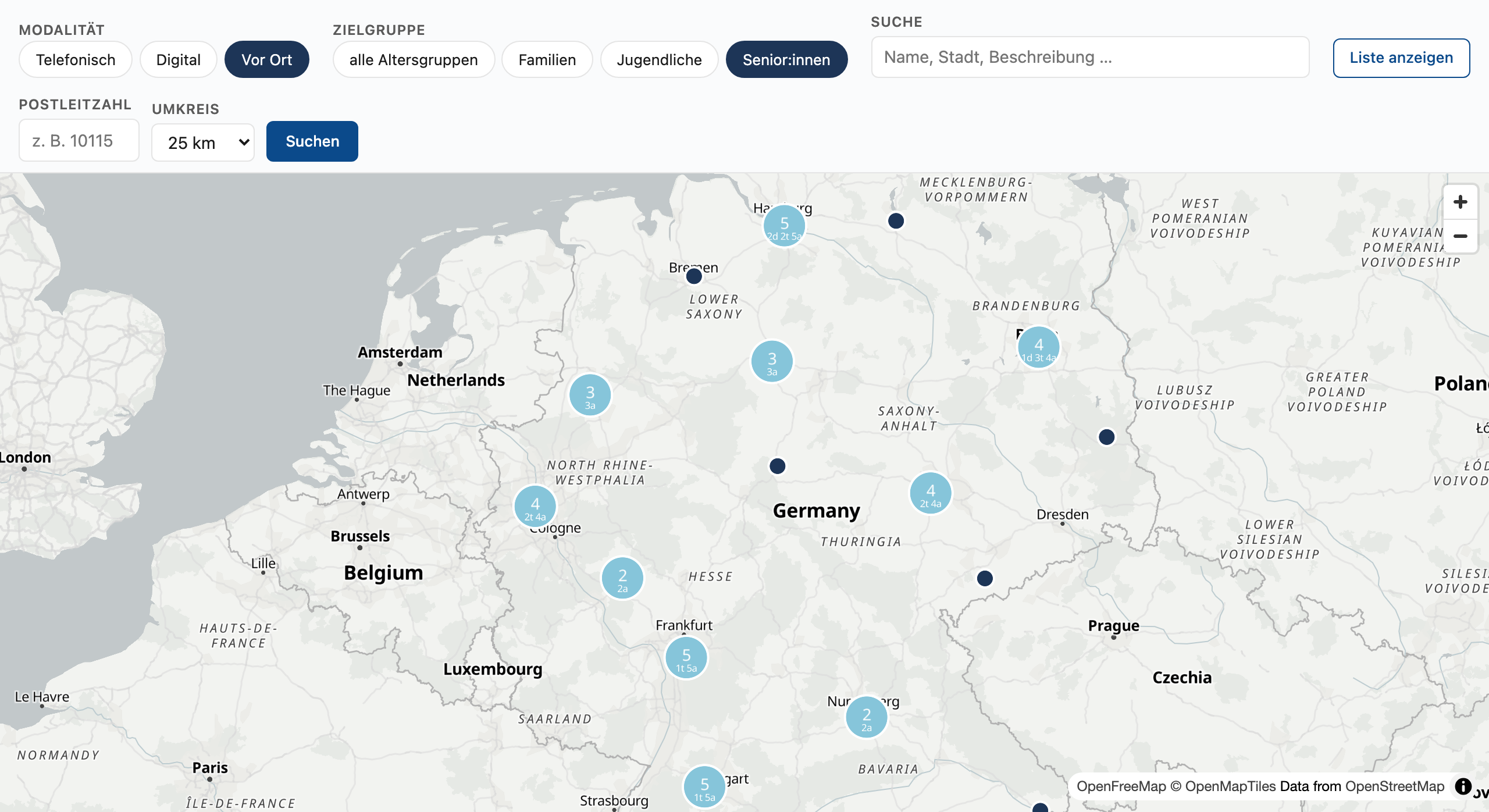
Filtering by modality and target group narrows the map live. -
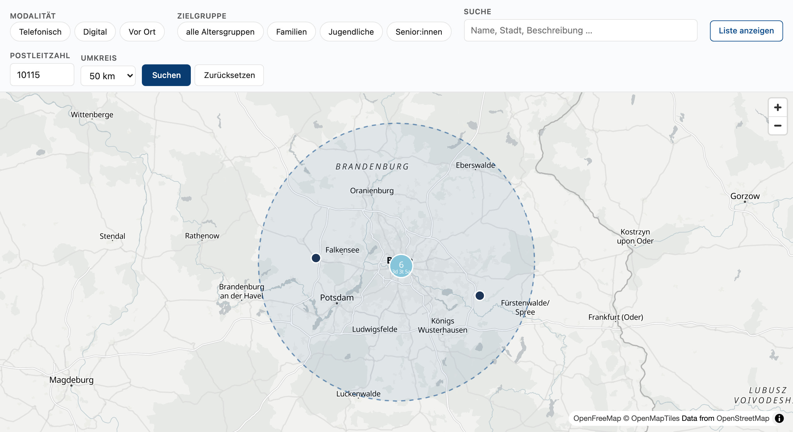
Postal-code and radius search with a visible search circle. -
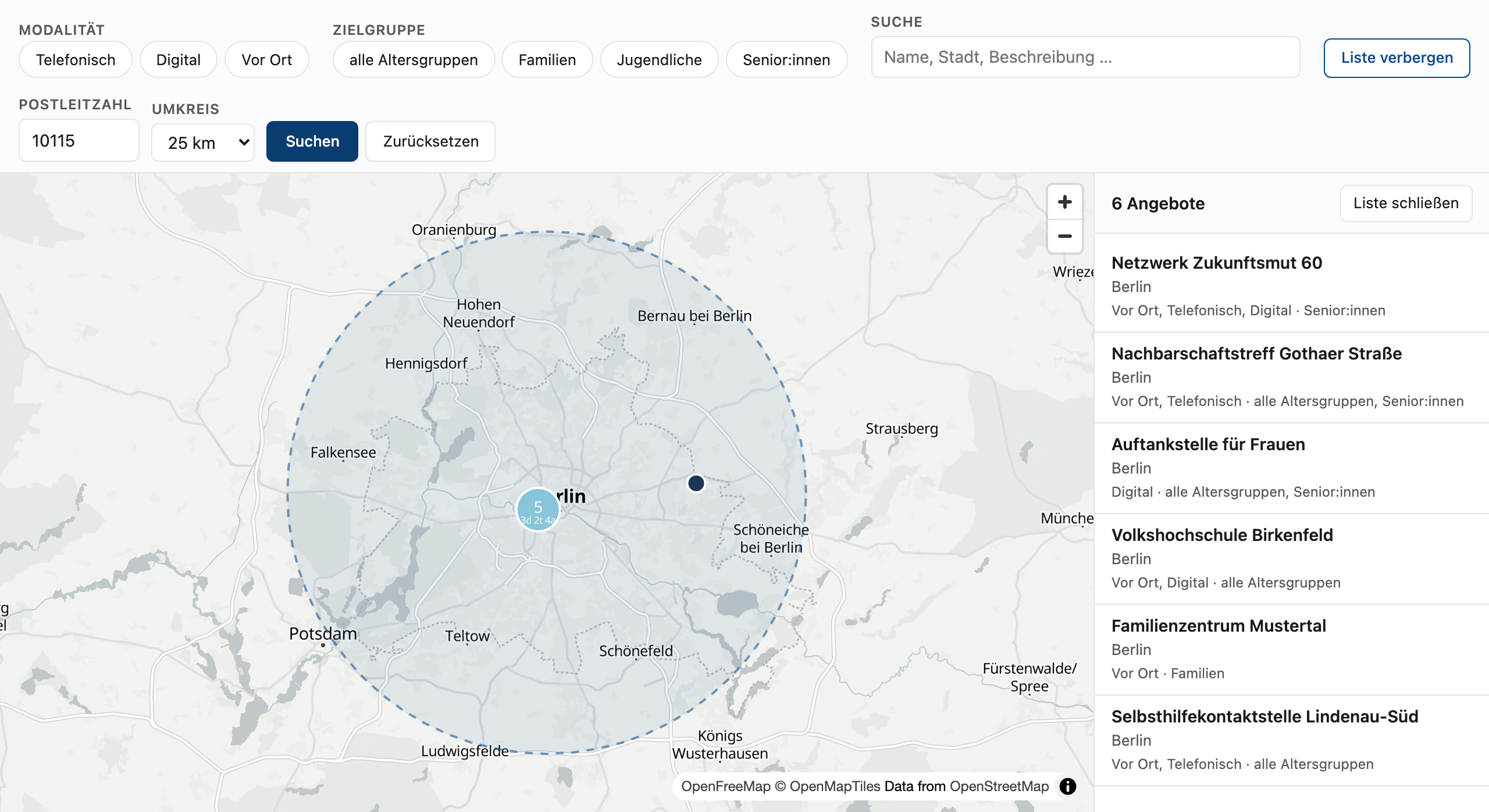
Accessible list view as an equal-rank alternative to the map. -
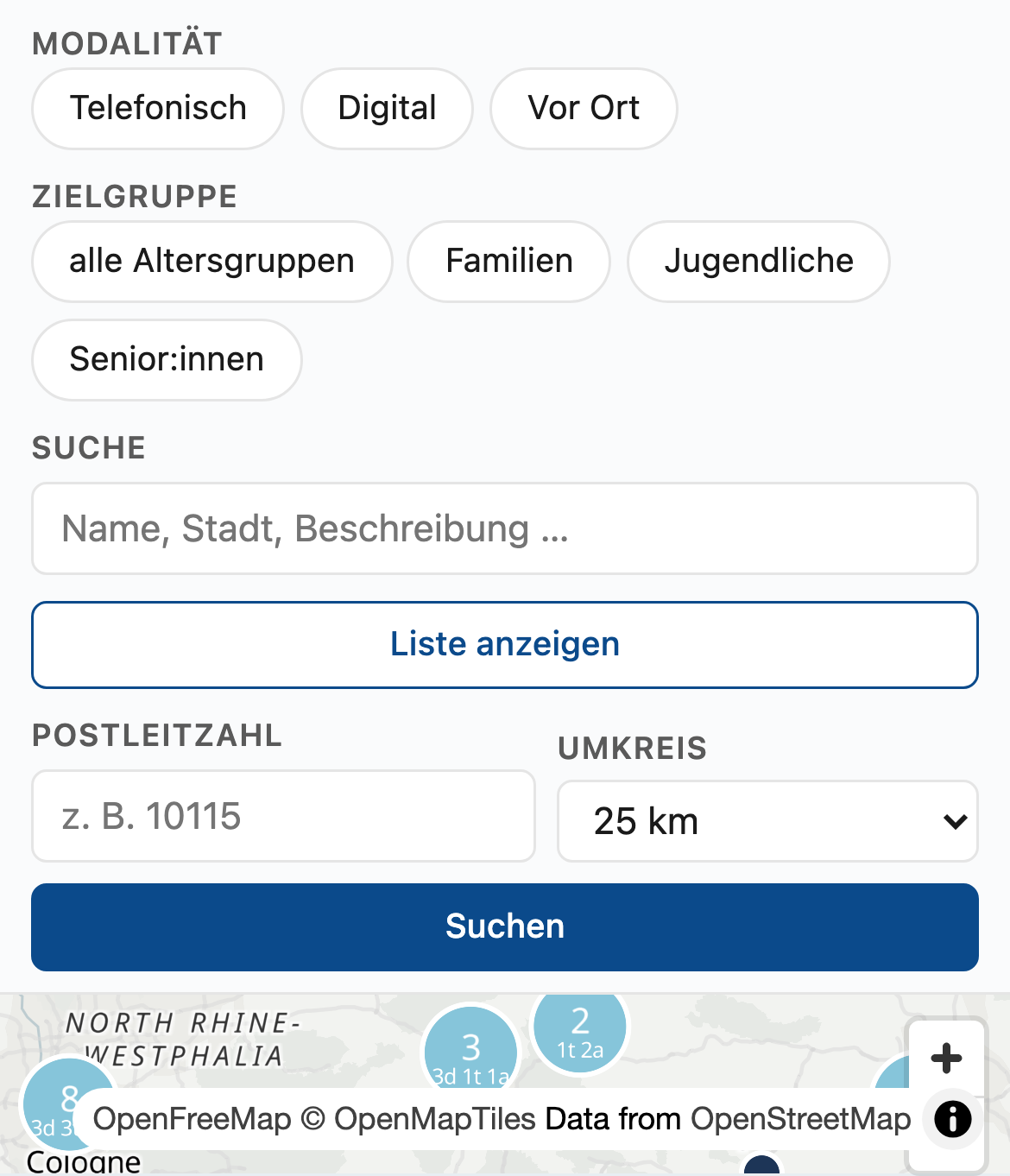
Responsive mobile layout: filter controls stack above the map.
What the demonstrator shows
The demonstrator covers the public-facing half of the system: data model, search-and-filter UX, map rendering with category-aware clustering, radius search, and the accessible list view. All of it is directly testable in the browser.